

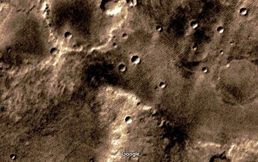
5th place
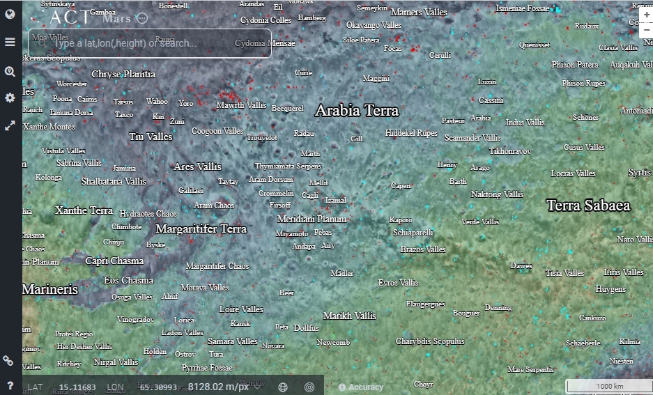
4th place
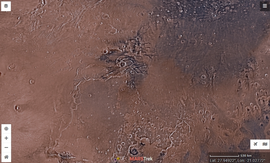
3rd place
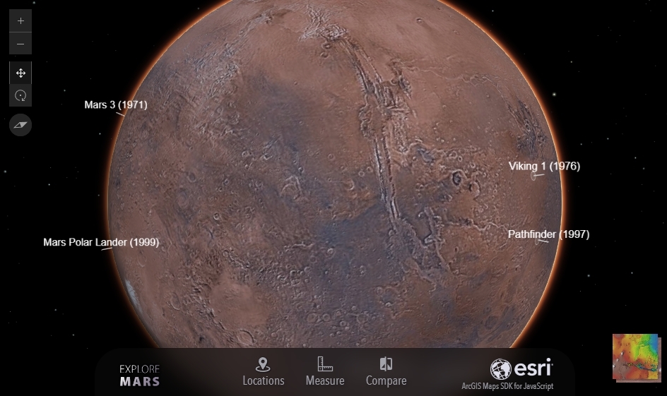
2nd place
The European Space Agency’s “Explore Mars 3D” offers a detailed 3D view of the surface of Mars.
It is an interactive map created using high-resolution images captured by the High-Resolution Imaging Science Experiment (HiRISE) camera aboard NASA’s Mars Reconnaissance Orbiter.
Users can explore the planet’s topography, features, and missions using the interactive interface.

1st place
An interactive 3D map of Mars from the California Institute of Technology. It was created over a period of 6 years using 110,000 images collected by NASA’s Mars Reconnaissance Orbiter.
Each pixel corresponds to an area on Mars measuring 25 square meters. In total, the map consists of 5.7 trillion pixels. The image covers 99.5% of Mars’ surface. The remaining 0.5% was either not imaged at all or was not imaged with sufficiently high resolution by the time the mosaic was created. This is the most accurate and highest-resolution model of Mars to date.
At the bottom of the map, you’ll find a list of the 16 most significant locations on Mars: Jezero Crater, Gale Crater, Gusev Crater, the Meridiani Planum, and so on. If you click on these buttons, you can quickly jump to the location you’re interested in.
The Jezero and Gale craters deserve special attention, as that is where the Perseverance and Curiosity rovers are currently operating. On the interactive map, you can see the path they have already traveled.